Fishhook feite
| gebied | 72.9 mi² |
| Lokaaltyd | |
| Tydsone | Alaska-dagligtyd |
| Lengte & Breedtegraad | 61.74402, -149.23613 |
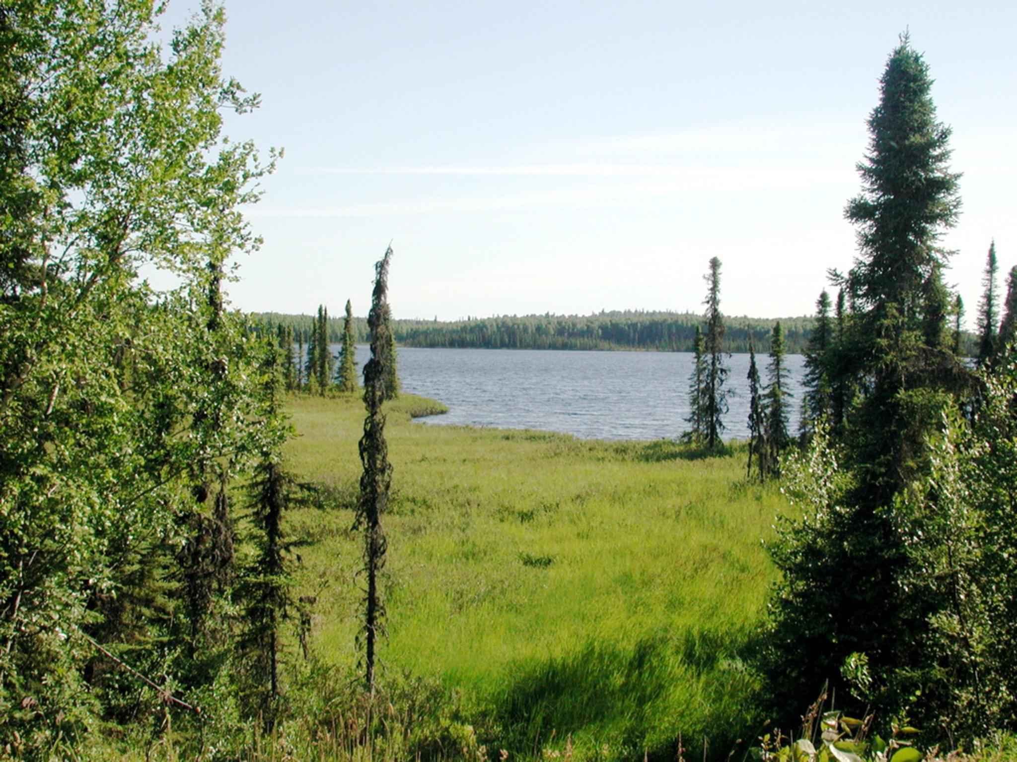
Kaart van Fishhook
Interaktiewe kaart
Fishhook bevolking
Jaar 1975 tot 2015
| Data | 1975 | 1990 | 2000 | 2015 |
|---|---|---|---|---|
| Bevolking | 0 | 0 | 0 | 0 |
| Bevolkingsdigtheid | 0 / mi² | 0 / mi² | 0 / mi² | 0 / mi² |
Bronne: JRC (European Commission's Joint Research Centre) werk aan die GHS built-up grid
Fishhook bevolkingsverandering van 2000 tot 2000
| Plek | Verandering sedert 1975 | Verandering sedert 1990 |
|---|---|---|
| Fishhook | — | — |
| Alaska | +32.8% | +12.7% |
| Verenigde State van Amerika | +29.2% | +11.9% |
Bronne: JRC (European Commission's Joint Research Centre) werk aan die GHS built-up grid
Alaska bevolkingsdigtheid
Bevolkingsdigtheid: 0,9 / mi²
| Plek | Bevolking | gebied | Digtheid |
|---|---|---|---|
| Alaska | 600 952 | 665 383,6 sq mi | 0,9 / mi² |
| Verenigde State van Amerika | 321,6 million | 3 796 740,8 sq mi | 84,7 / mi² |
Bronne: JRC (European Commission's Joint Research Centre) werk aan die GHS built-up grid
Fishhook historiese en geskatte bevolking
Geskatte bevolking van 1975 tot 2015
Bronne:
- JRC (European Commission's Joint Research Centre) werk aan die GHS built-up grid
- CIESIN (Center for International Earth Science Information Network)
- [skakel] Klein Goldewijk, K., Beusen, A., Doelman, J., and Stehfest, E.: Anthropogenic land use estimates for the Holocene – HYDE 3.2, Earth Syst. Sci. Data, 9, 927–953, https://doi.org/10.5194/essd-9-927-2017, 2017.
Menslike Ontwikkelingsindeks (HDI)
Statistiese saamgestelde indeks van lewensverwagting, opvoeding en per capita-inkomste.
Bron: [skakel] Kummu, M., Taka, M. &Guillaume, J. Roosterglobale datastelle vir Bruto Binnelandse Produk en Menslike Ontwikkelingsindeks oor 1990–2015. Sci Data 5, 180004 (2018) doi:10.1038/sdata.2018.4
Alaska CO2-uitlatings
Koolstofdioksied (CO2) -uitlatings per capita per ton per jaar
| Plek | CO2-emissies | CO2-emissies per capita | CO2-emissiesintensiteit |
|---|---|---|---|
| Alaska | 9,533,511 tn | 15.86 tn | 14.3 tons/mi² |
| Verenigde State van Amerika | 5,664,619,810 tn | 17.62 tn | 1,492 tons/mi² |
Bronne: [skakel] Moran, D., Kanemoto K; Jiborn, M., Wood, R., Többen, J., and Seto, K.C. (2018) Koolstofvoetspore van 13 000 stede. Environmental Research Letters DOI: 10.1088/1748-9326/aac72a
Alaska CO2-uitlatings
| 2013 CO2-uitlatings (tonne/jaar) | 9,533,511 tn |
| 2013 CO2-uitlatings (tonne/jaar) per capita | 15.86 tn |
| 2013 CO2-uitlatings-intensiteit (tonne/mi²/jaar) | 14.3 tons/mi² |
Natuurlike gevare risiko
Relative risk out of 10
| Gevaar | Risk Level |
|---|---|
| Flood | High (8) |
| Earthquake | High (8) |
| Landslide | Medium (7) |
* Risk, particularly concerning flood or landslide, may not be for the entire area.
Bronne:
- Dilley, M., R.S. Chen, U. Deichmann, A.L. Lerner-Lam, M. Arnold, J. Agwe, P. Buys, O. Kjekstad, B. Lyon, and G. Yetman. 2005. Natural Disaster Hotspots: A Global Risk Analysis. Washington, D.C.: World Bank. https://doi.org/10.1596/0-8213-5930-4.
- Center for Hazards and Risk Research - CHRR - Columbia University, Center for International Earth Science Information Network - CIESIN - Columbia University, and Norwegian Geotechnical Institute - NGI. 2005. Global Landslide Hazard Distribution. Palisades, NY: NASA Socioeconomic Data and Applications Center (SEDAC). https://doi.org/10.7927/H4P848VZ.
- Center for Hazards and Risk Research - CHRR - Columbia University, Center for International Earth Science Information Network - CIESIN - Columbia University. 2005. Global Flood Hazard Frequency and Distribution. Palisades, NY: NASA Socioeconomic Data and Applications Center (SEDAC). https://doi.org/10.7927/H4668B3D.
- Center for Hazards and Risk Research - CHRR - Columbia University, Center for International Earth Science Information Network - CIESIN - Columbia University. 2005. Global Earthquake Hazard Distribution - Peak Ground Acceleration. Palisades, NY: NASA Socioeconomic Data and Applications Center (SEDAC). https://doi.org/10.7927/H4BZ63ZS.
Onlangse aardbewings in die omgewing
Grootte 3.0 en groter
| Datum▼ | Tyd↕ | Magnitude↕ | Distance↕ | diepte↕ | Plek↕ | skakel |
|---|---|---|---|---|---|---|
| 8/14/19 | 9:18 AM | 3 | 29.3 km | 3,500 m | 24km NNW of Sutton-Alpine, Alaska | usgs.gov |
| 2/19/19 | 6:59 AM | 3.3 | 15.1 km | 6,900 m | 15km NNW of Fishhook, Alaska | usgs.gov |
| 10/12/18 | 5:16 PM | 3 | 36.6 km | 36,800 m | 12km SE of Knik-Fairview, Alaska | usgs.gov |
| 10/16/17 | 7:27 AM | 3 | 25.6 km | 28,500 m | 5km SSE of Meadow Lakes, Alaska | usgs.gov |
| 10/16/17 | 7:27 AM | 3 | 25.6 km | 28,500 m | Southern Alaska | usgs.gov |
| 7/30/17 | 2:47 AM | 3.2 | 29.9 km | 7,400 m | 29km N of Fishhook, Alaska | usgs.gov |
| 7/30/17 | 2:47 AM | 3.2 | 29.5 km | 6,200 m | Central Alaska | usgs.gov |
| 6/17/17 | 10:07 PM | 3 | 33.5 km | 40,200 m | 21km SE of Y, Alaska | usgs.gov |
| 3/24/17 | 9:39 PM | 3.2 | 19.4 km | 50,400 m | 19km WNW of Fishhook, Alaska | usgs.gov |
| 3/17/17 | 7:47 AM | 3.6 | 21.9 km | 3,300 m | 21km N of Fishhook, Alaska | usgs.gov |


Oor ons data
Die data op hierdie bladsy word geskat met behulp van 'n aantal publiek beskikbare gereedskap en hulpbronne. Dit word verskaf sonder waarborg en kan onakkuraathede bevat. Gebruik op eie risiko.